Along the road to Eketorp are a series of signs showing landmarks in history from the founding of the fort originally:
 |
| 1989 - Information Technology, Globalisation, Broadband, Fall of the Berlin Wall, EU, World Heritage |
 | |
| 1914-1989 Wars, World Wars, Genocide, Technical Development, Moon Mission, Welfare State, Öland Bridge |
 |
| 1720-1789 Science, Knowledge, Information, Revolution, French Revolution, Carl Von Linne, Windmills |
 |
| 1560-1720 Superpowers, Religious Wars, Kingship, Quill, Lutheran Catholic, The Swedish Bureucracy, Hunting Parks |
 |
| 1520-1560 Gustav Vasa, Peasant Uprisings, Renaissance, Kingdom Heritage, Martin Luther, Gustav Visa, Dacke Feud |
 |
| 1397-1520 Kalmar Union, Explorations, Knightly Ideals, World Map, Jeanne D'Arc, Union Battlers, Thirty Year War (Ofredsår) |
 |
| 1060-1397 New Field, Cathedrals, pestilence, Genghis Khan, Crusades, Legislation, Church Building |
 |
| 800-1060 Viking Times, Trade, Plundering, Contact, Viking Trips, Christianization, Runestones |
 |
| 0-800 Iron, Christianity, Islam, Smithing, Roman Empire, Astronomy, Castle Building |
 |
| Eketorp Fortress |
 |
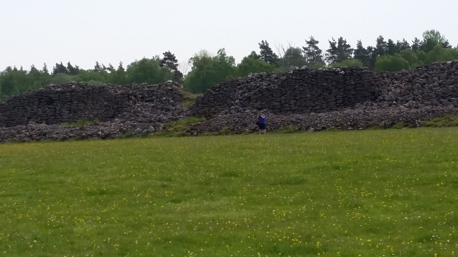
| Outside the walls |
 |
| The Gates |
 |
| Inside the walls - foundations |
 |
| Central Building |
 |
| Reconstructed animal pens |
 |
| Demonstration of how the arches are made |
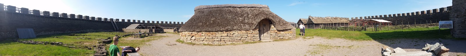 |
| Panoramic shot of the inside of Eketorp |
 |
| Alana on the walls |
 |
| Reconstructed houses |
 |
| Reconstructed Smithy |
 |
| Exploring the houses |
 |
| I give a history lesson |
 |
| Alana practicing being an archer in the medieval garrison (she was a Clash of Clans archer) |
 |
| Cameron being a Clash of Clans Barbarian |
 |
| The well |
 |
| The Ironage layout of Eketorp - Eketorp Fort |
 |
| The next configuration - Iron Age |
 |
| The Medieval Garrison of Eketorp |
 |
| The walls |
 |
| Panoramic view from the walls |
 |
| Panoramic view, looking back into Eketorp from front wall |
 |
| Panoramic view into Eketorp from side wall |
 |
| Looking toward gate house from side wall |
Having finished up at Eketorp we began the 4hr drive home. We will probably have to return to Öland at some point as we missed the entire northern part of the island and quite a few of the sites in the bottom.
It was a great trip, but we were exhausted when we got home.