Monday, 26 February 2018

Ireland - (Feb 16-23) - Day 5 - Giant's Causeway and The Dark Hedges

This day started well, we were off from the Riverside Marina quiet early after a nice shower and up to one of Kristine's main goals in Ireland - the Giant's Causeway.

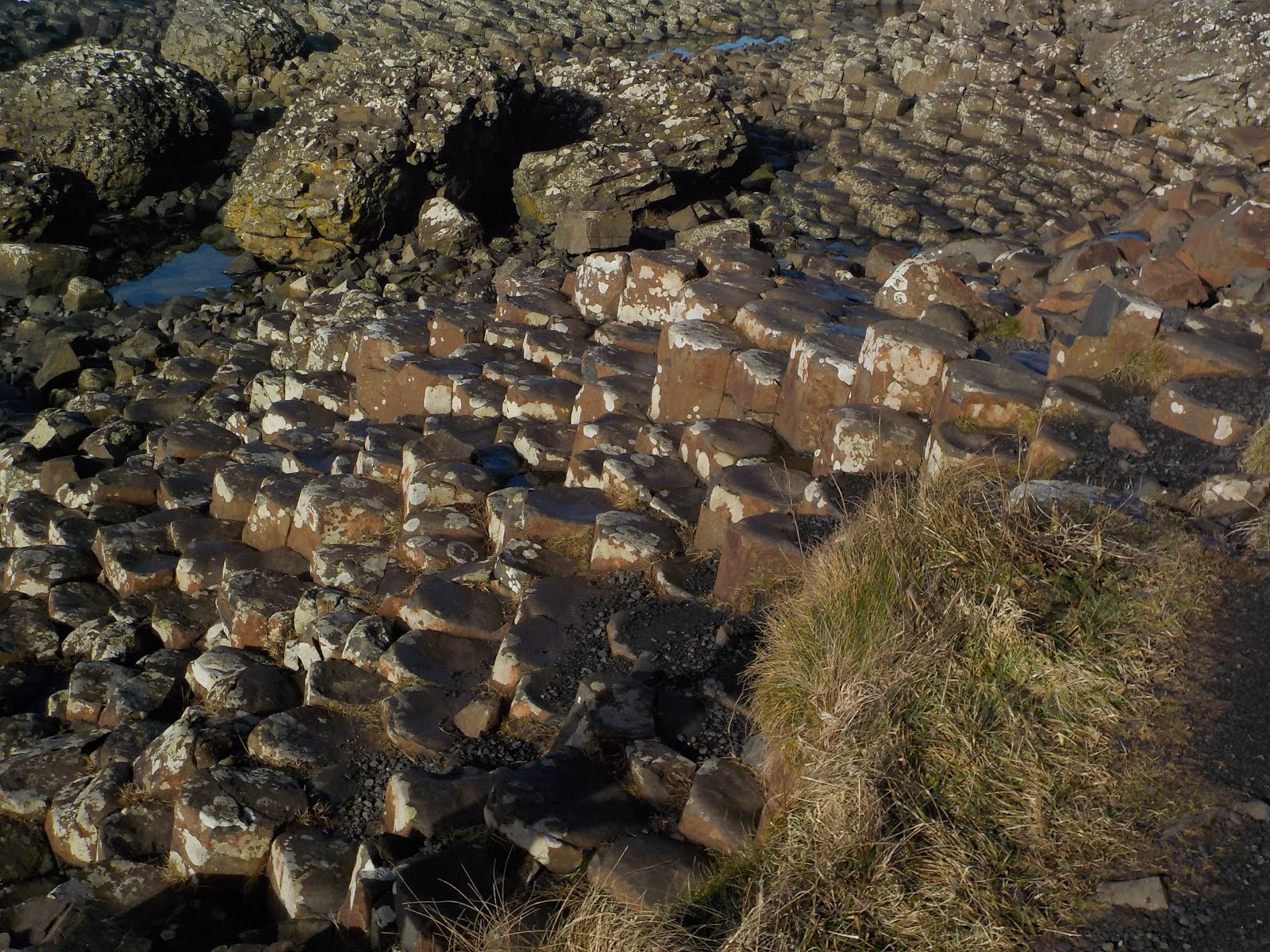
The Giant's Causeway is located on the shoreline in northeast Ireland.  It  was formed as the tectonic plates separated Pangaea (the super continent) and the magma was forced to the surface, forming pillars of basalt.  The Irish have many myths and stories about the landscape, especially as it is such and impressive sight.  The stories say that the area was created by a Giant, Finn McCool (Fin Mac Cumhaill).  He was rivals with the giant Benandonner who lived across the water in Scotland.

Finn crossed the causeway to challenge Benandonner and then realised that the rival giant was much bigger than he, so he raced back and told his wife Oonagh what had happened.  When Benandonner stormed over to find Finn and accept the challenge, Oonagh hid Finn in his son (Oisin's) cot and covered him with blankets.  She told Benandonner that Finn was out herding cows and introduced him to her 'son' Oisin (who was really Finn in disguise).  When Benandonner saw how big the 'baby' was, he began to worry about the size of the father and ran back across the causeway, tearing it up as he crossed.  This explained why there were similar rock formation at the other end of the causeway on the isle of Staffa in Scotland.

The Giant's Causeway
The trip started at the visitor centre and we headed down to Portnaboe (Bay of the Cow).

Portnaboe
Portnaboe
The Bay of the Cow was named as farmers had previously grazed cattle on the lower slopes.

Waves and rocks in Portnaboe
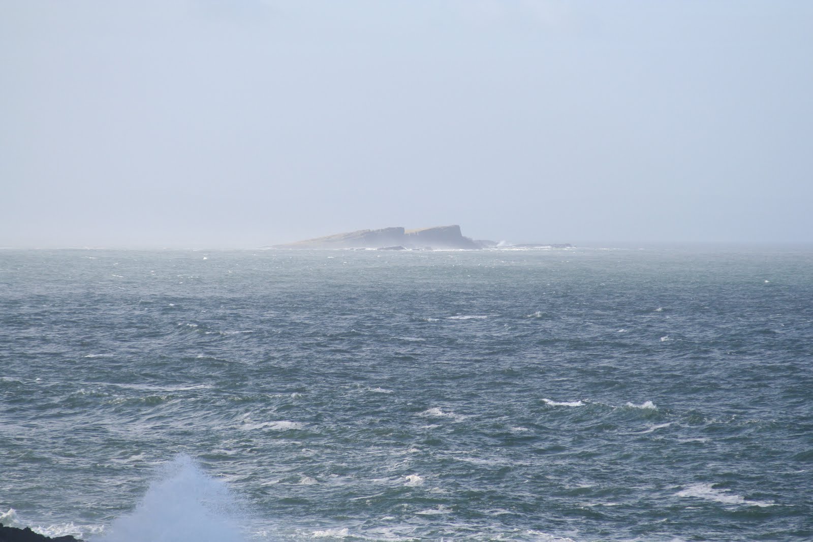
Islands in the distance - finally a day without as much fog
Cliffs at Portnaboe
There is another reason Portnaboe is famous and that is for The Camel.  Myths say that Finn was too far from home and needed to get back in a hurry so he hailed a giant camel that raced him home and then settled down for a rest - it can be seen in the photo below - the large mound to the right is the body and hump and the smaller mount to the left is the head:
The Camel
In actual fact, the camel was created by cooling lava that formed a dyke of hard basalt that remained when the softer rock was worn away.

The mountain in the background of these shots is Runkerry Head as shown below:
Map of the area
Heading down we came to Port Ganny.  So named as the Gaelic word for sand is Gaineamh and this was the only section with sand.  Behind us was the 'Onion' rocks that are continually 'peeled' by erosion.
The Onion
Onion


and then we had out first view of the main part of the Causeway:
First view of Giant's Causeway with Port Ganny in the close distance
Giant's Causeway
In the picture above, I can point out a few landmarks:
Portnaboe is up the hill behind us and to the left.
The Onion is directly behind us on the hill face.
To our left (out of shot) are the Stookans (Haystacks)
Directly in front is Port Ganny.
In the distance the black rock with people standing on it is the Giant's Causeway.
The thin rocks in the far distance at the top of the cliff is Finn McCool's Chimneys.
Us in front of the Giant's Causeway
The Stookans
It's said that the top of the rightmost Stookan is Finn McCool's Granny turned to stone
Try as we might, we failed to see Granny on the stones, but the stories were pretty interesting.  The first is that Granny waited on the rocks for Finn whenever he went out and so she turned to stone waiting there for him.  The second tells of Finn falling in love with a Scottish woman and building the Causeway to her.  Granny didn't want him to marry a Scott so she summoned her magic and created a storm to wreck the Causeway.  Finn was undaunted and started again so Granny summoned a more severe storm.  Eventually he pushed through the storm finally making it to the other side, but he was so exhausted by fighting the waves and wind that he died in the arms of his beloved.  Granny was horrified by what she had done and turned to stone.  The final story tells that Granny nagged Finn too much as he built the Causeway, telling him where to place every stone, so he turned her to stone to shut her up.

On the rocks at the start of the Causeway
Listening intently to the audio guide
The stones of the Little Causeway
The Causeway
Basalt columns
Lounging around on the rocks
Family photo on the rocks

Next we passed through the Giant's Gates,  a gap that connects the Causeway with Port Noffler (meaning the Giant's Bay), which is said to be where Finn McCool makes his home.

Port Noffler
The coloured striations in the rocks that made up the cliffs was pretty amazing - created as different sediments were laid and the volcanic layers were made and broken up.

Giant's Gate
Wall of the Gate
Heading Through
Giant's Organ - the big columns on the cliffs of Port Noffler
Port Noffler
Following the story of Finn challenging the giant Benandonner, there is one of Finn's giant shoes discarded on the shore of Port Noffler, where it was lost when he ran back to Ireland.

Giant's Boot
Tom takes a rest on the boot
Cam comparing his shoe and the Giant's Boot
Relaxing on the Boot
Perched on the boot
Family on the Boot
(what you cant quite see in the picture above is Kristine had just fallen over, trying to rush back into the shot after setting the camera timer.  It turned out quite well though...)

The Giant's Organ on the cliff overlooking Port Noffler
Us at the Giant's Organ

The Giant's Chimneys
View back to the Causeway from under the Chimneys
Family photo (try 1)
and try 2
The red stone on the cliffs below the Chimneys
It had an interesting texture


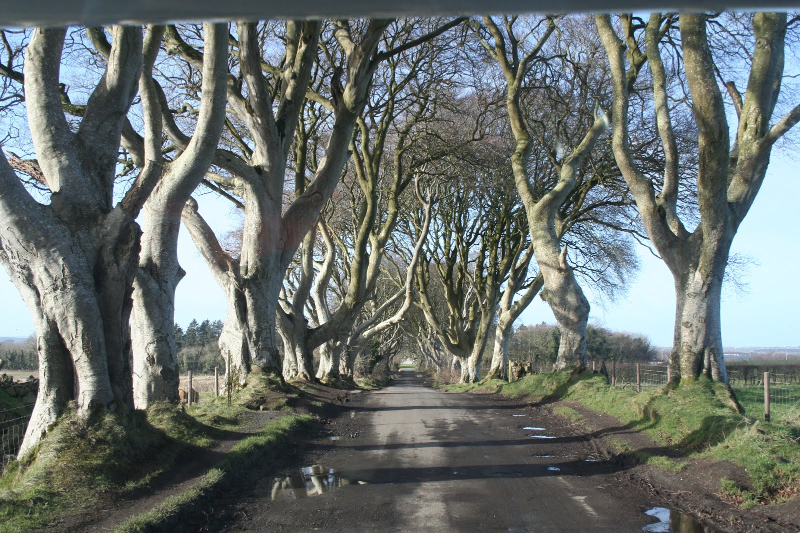
After finishing at the Causeway, we headed out to the Dark Hedges - an avenue of beech trees near Armoy.  It was used for filming Game of Thrones - as the King's Road:


The King's Road in Game of Thrones (season 2 Episode 1)
Here's the sample of that scene (King's Road (S2E01)
Here's some of our shots:


After the Dark Hedges, we headed to Shane's Castle - also the location of several Game of Thrones scenes, but it was private property and closed for the off-season, so we continued on to our final stop - Carrickfergus.

Carrickfergus (Carraig Fhearghais - Meaning Fergus' Rock) is a castle in County Antrim in Northern Ireland.

It was built in 1177 by John de Courcy after he conquered Ulster (the districts of Northern Ireland).  He served there as King until he was ousted by Hugh de Lacy, a Norman adventurer in 1204.

Carrickfergus served as castle for both the English and the Irish in the war.  In 1210 King John capture the castle and it was later surrendered to French invaders in 1760.  It served as a garrison and ordnance storage in World War I and air-raid shelter in WW II.

We were able to camp in the carpark of the castle, and so we did so for two nights.

I'll include the pictures of Carrickfergus in the post for Day 7 (our last day waking at Carrickfergus) as we gathered pictures for the 3 days we were there.

Travel on Day 5
Distance driven - Day 5: 270km
Total Distance: 1435km


Ireland - (Feb 16-23) - Day 4 - Doolin, Cliffs of Moher, Galway

This morning we woke up at Doolin, in sight of the Cliffs of Moher. We'd intended to have an easy start to the day, the campsite was empty and quiet and we could hear the waves crashing comfortingly on the beach nearby.  It was relaxing and a good chance to catch up on a little sleep-in..

Until "Oh no! Mum and Dad are going to kill me!".  At 8:00am we woke to hear Tomas repeating this in between sobs.  I can tell you that this is not a relaxing way to way up despite the waves.

"What's happened?" I asked, still half asleep.

"I broke my window," Tomas said.

"Well don't touch it anymore and I'll look at it in a few minutes when I get up."

"I can't stop touching it or it will fall and break more."

That was enough to get me quickly pulling on some jeans and sliding down the ladder.  At the back of the van, Tomas was sitting on his bed with his arm through the hole that had once been the back window, holding onto the window by the latch as it hovered about a meter above the concrete hard-pad.  The window was made of perspex so there wasn't a huge chance of extra shattering but it wasn't a good sight.  We finally found that Tom had tried to open his window and had problems closing it when he realised it was -1 degree outside.  The windows opened by unlatching and lifting them, they then locked themselves into a semi-open position. To close them you needed to open them further and then they would fall back closed.  He'd instead moved it to the locked open position and tried to pull it closed and Crack! the top of the perspex had cracked.

We were able to put the window back in place and lock it in with the latches, but there was no way that it would hold up to driving.  It did still look closed so at least we probably would be secure.  The fact the caravan park was locked up meant that we were secure for now.  So we had a broken key and hence no way to empty the waste water, toilet or to fill up with fresh water, nor could we access the power input without reaching up through a small hole under the van to pull out the cable and blindly plug it in.  Now we also had a missing window on a wet and foggy day.

Surveying the damage

There wasn't much we could do at 8:30am, so we decided to secure the van and go for a walk through Doolin.

The small town was mostly closed for off-season (it mostly made a living with the tourists visiting the Aran Islands in summer) and there was no locksmith or shop that could sell us some gaffer tape.

Nagels Doolin Camping
Inisheer, the closest of the Aran islands
I believe this is the ruin of O'Brien's Castle on the Inisheer Island
One of the roads into Doolin
The cows were completely unimpressed by the waves

Coastline at Doolin
Fortunately we missed the ceremonial clubbing of the giant rabbit at Doolin Golf Club

We then returned to the van and decided that we wouldn't waste the day searching for a fix to our problems like we had done the day before, so we headed up to the Cliffs of Moher.

On the drive we passed the ruins of Doonagore Castle, a 16th century round tower built from the local sandstone:
Doonagore Castle


When we arrived at the Cliffs of Moher we locked the window back in place and headed into the tourist centre.

The Cliffs of Moher are sea cliffs that front onto the Atlantic Ocean.  They stretch for 14km along the shoreline of southwestern Ireland and rise up to 214m high.  It is possible to see the Aran islands from the Cliffs but, as always, we were defeated by the fog. The cliffs also house O'Brien's Tower, a tower built in 1835 to mark the highest point of the cliffs.  It is believed to have originally served as a teahouse.


Entry to the Cliffs
In order to reduce the environmental impact the shops (all closed for off-season) and set back into the hill
The Cliffs of Moher (looking south)
View south

Us with a view over the southern cliffs
O'Brien's Tower at the top of the highest point of the cliffs
O'Brien's Tower
Looking south from the base of O'Brien's Tower
Us in front of O'Brien's Tower
View south from the base of O'Brien's Tower
View north from the base of O'Brien's Tower - That's probably the Aran islands in the distance, buried in fog
Base of the cliffs, just around the corner from Doolin
Base of the cliffs
Our only real view of the Aran Islands - that's Inis Oirr (Inisheer) Lighthouse on Inisheer
After Moher we headed up to our next stop, Galway.  Along the way we stopped at a service station to buy some gaffer tape and taped the rear window on so tightly that it remained water-tight and didn't move for the rest of trip.  (for anyone interested, the cost to fix the window was €345 or about AUD$500!)

We then made it into Galway.  This was the site of our next disaster.  While following the GPS and looking for a place to park an enormous (6.5m long, 2.3m wide, 3.15m tall) motorhome we came to a left and right junction and the GPS directed us left, onto a narrow road with cars lined on both sides.  Kris managed to skillfully maneuver through them until, clunk.  The sides of the motorhome flared out just behind the door and the tiniest bit of the plastic edging had snagged on the rear bumper of a car to our left.  There was no way to go forward, so Kris had to back up.  We were too close to the cars on either side to be able to open the doors and get out so we had no choice but to reverse.  Meanwhile a helpful taxi had pulled in behind us and was beeping and yelling at us to move.  Kris managed to back down the road a little but unfortunately this pulled at the bumper of the car and popped the bumper clips off - leaving the bumper hanging loose.  She managed to reverse down the road and park, while I found the owner of the car.  There was absolutely no damage to the van, as it had just been a piece of the plastic that had snagged the bumper.

The owner of the car was a young guy, probably a student and he looked pretty stressed about it, and rightfully so.  Pictures of thousands of dollars worth of insurance bills swam through my mind as I apologized multiple times.

"So, how do you want to do this?" I asked, "We have an incident form and we can give you our insurance details etc."

He looked over the damage and said "There's a garage on the corner, how about we take it up there and see what it costs to fix it up."

I told him I needed to dash back and let Kris know and he said he would head to the garage and meet me there. "No worries, I trust you" he said.

When we got to the garage I was still panicking at the potential cost.  The mechanic came over - "Ah, you've just popped a few clips here.  I can fix that up for about €100 (AUD$156)."  The owner agreed and was amazingly good about it.  I had to pay cash, so he took the things from his car back to his place, while I went to look for an ATM.  All this time the owner was really friendly and trusting too, so when I came back I paid the garage owner €100 and gave the owner an additional €50 ($80) as way of apologizing for ruining his morning. He initially refused but I insisted and told him to get a beer with his friends and laugh about stupid Aussies who can't navigate Irish roads.  So in the end we got it all fixed up for him without any hassles and he ended up happy.  It was a huge relief that he was so understanding and friendly about it all, as at this point we still had the window and broken key hanging over our heads.

I found Kris and gave her the good news that it was fixed and we wouldn't need to sell one of the children, and we turned right this time instead of left.  In about a minute of driving on the nice, wide road, we came to a huge shopping complex with a massive, almost empty carpark.  Our first point of call was a locksmith in the shop to get a new key cut.  With that done, we grabbed some lunch and supplies for our journey.

As much as we had wanted to explore Galway, the incident on the narrow had pretty much ruined our appetite for adventure and eaten up most of the day.  Instead we decided to head to our next campsite, which we knew was a long way away in Northern Ireland.

What a day....

Our stop for the night was the Riverside Farm, Marina and Caravan Park.  It cost us £15 to stay the night with electricity (Northern Ireland is part of England and hence uses the pound instead of the Euro - £1 = €1.13 = AUD$1.78)  There were also showers that cost us £1 per four minutes, but oh my god! They were luxurious!  They were hot and plenty of water, we ended up getting everyone through showers at night and Kris and I had an extra one in the morning.  It cost us £7 ($12.50) in shower fees but it was worth it.  With the key repaired, the waste water drained, clean water taken on, toilet emptied and the window securely taped on, and freshly showered, we were ready to continue with our trip.


Day 4

Distance driven - Day 4: 295km
Total Distance: 1165km